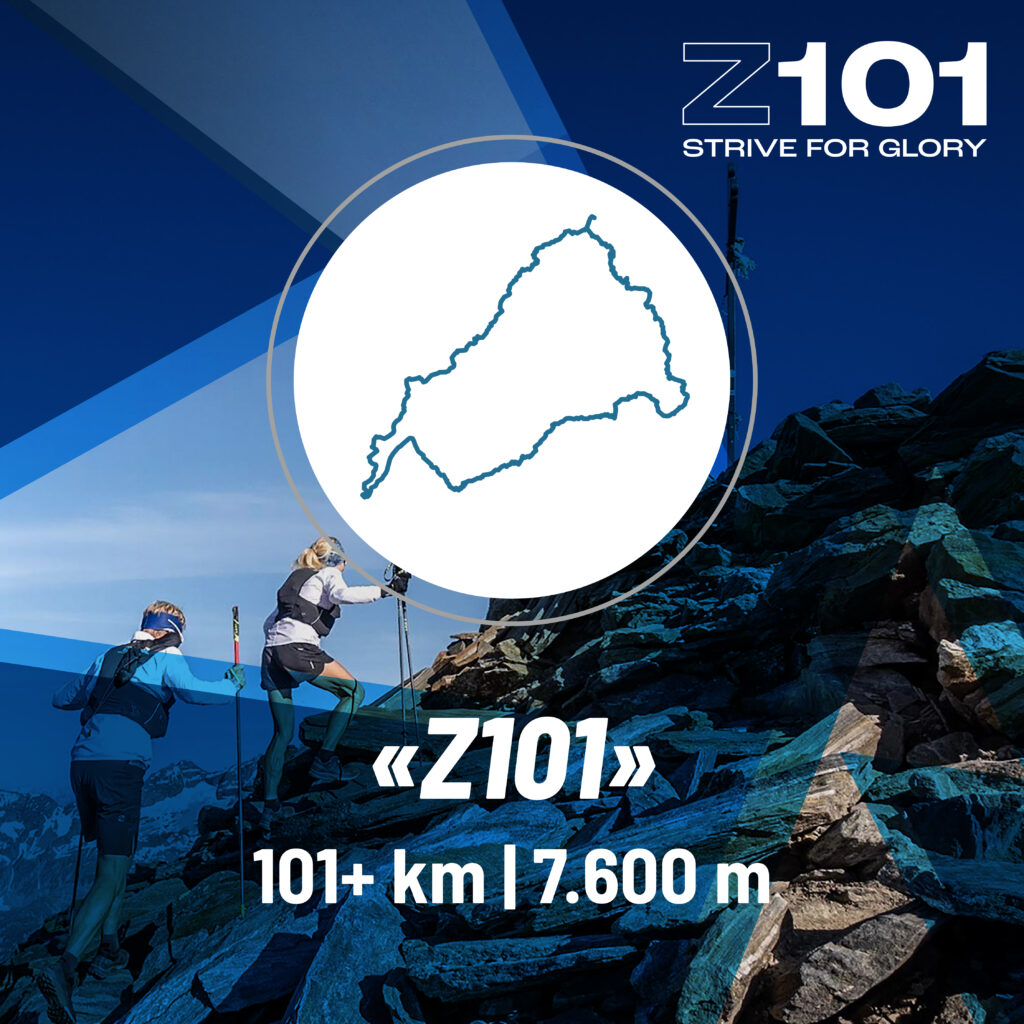
Z101
Breathtaking, Challenging and Spectacular – the Z101 Adventure Race
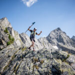
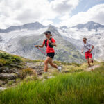
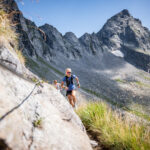
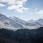
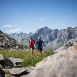
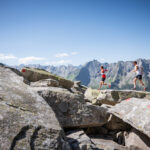
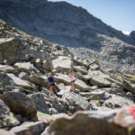
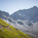
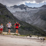
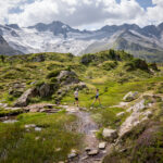
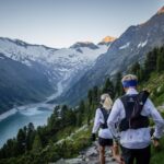
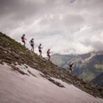
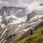
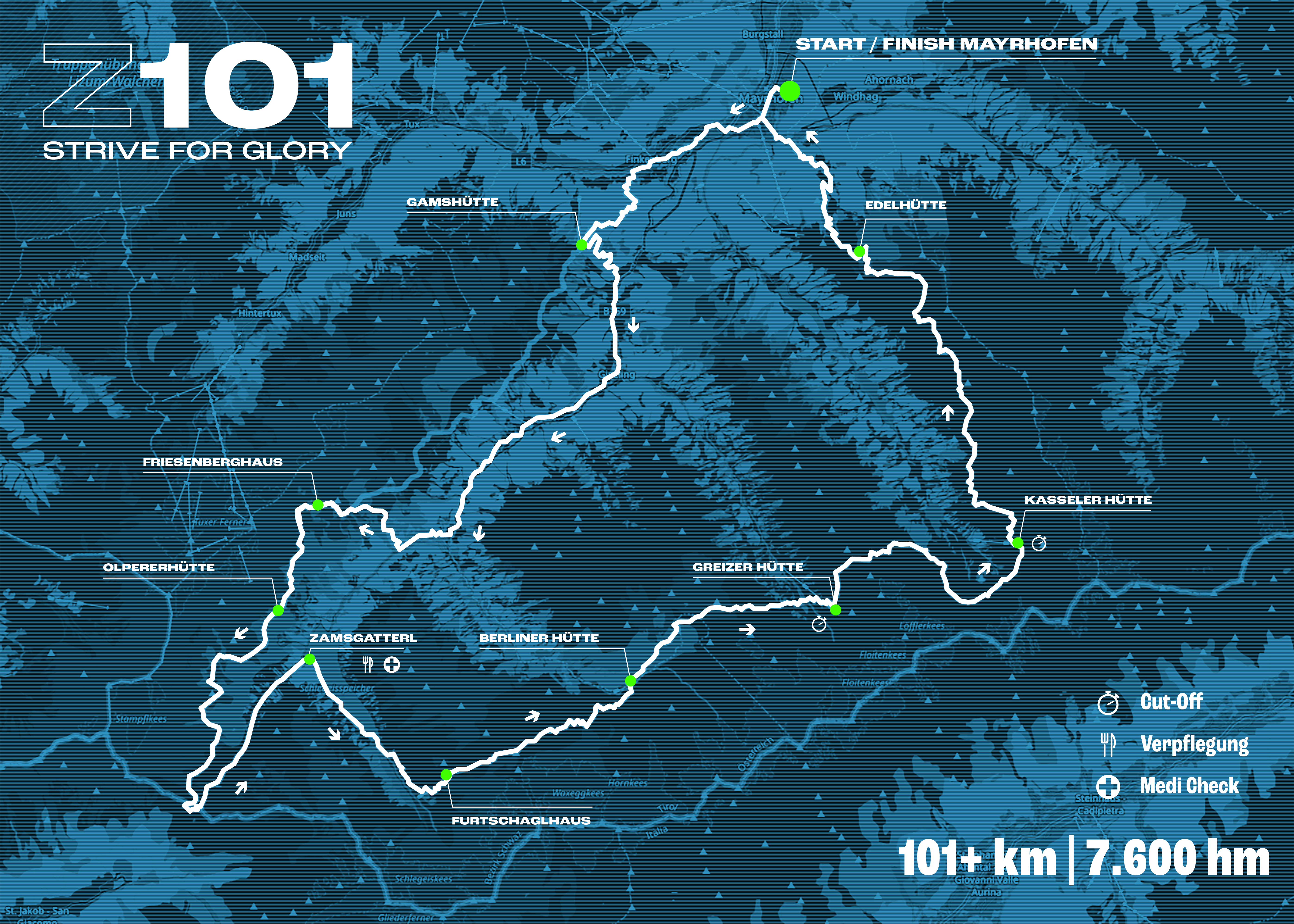
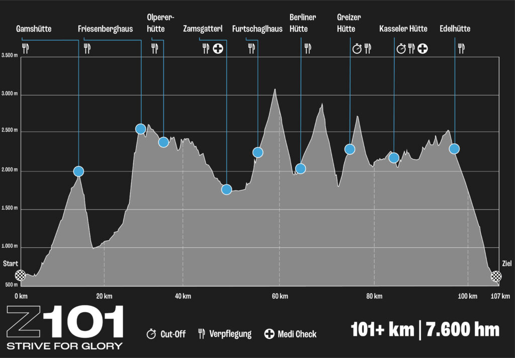
Over 101km, the «Z101» takes you along high-altitude trails through the gorgeous Zillertal Alps past some of the most famous and historic mountain refuges. As a runner you will overcome 7,600m on challenging, technical terrain and get a taste of Italian air at the Pfitscher Joch. The highest point of the route is at a proud 3,123m. The transition at Schönbichler Horn marks the roof of the tour. The «Z101» brings you to your limits – PROPERLY!
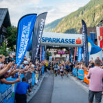
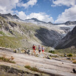
The start goes off on Friday evening at the Muncipality Mayrhofen. The race is the prelude to the exciting Ultraks weekend. The course leads you out of Mayrhofen, after a short “rolling in” the course gains more and more altitude. Shelters are passed regularly, which serve as refreshment and emergency starting stations. On high altitude paths it goes to the Pfitscher Joch, to the Austrian-Italian border. From there you will go up and down several times. You will experience the most striking and beautiful crossings between the numerous side valleys, before the crux of the route, the “Siebenschneidenweg”, demands everything from you in the last section. The rough block fields in the Karen high above the Stilluptal you overcome at the end before you can still enjoy the final downhill back to Mayrhofen.
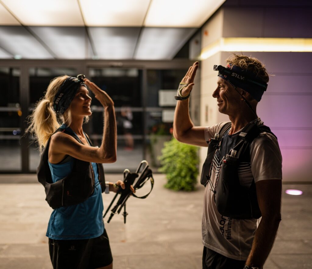
The route runs outside Mayrhofen on signposted hiking trails and is not additionally marked. Each runner must navigate themselves by means of GPS and map. According to the ethics in trail running, the run is to be completed in partial autonomy. A Runner’s Briefing is mandatory for all participants on Thursday evening.
Each participant must provide proof of an ultra result (min. 80km) in the last three years.
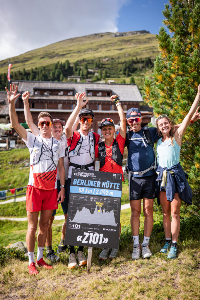
Catering will be self-supported and there will be food points at selected huts only.
The Facts
101+ km / 7.600 hm
- Start: Friday, 04. September 2026, 5 p.m.
- Start/Finish: Ultraks Zone
- Distance: 101+ kilometers
- Altitude difference: 7.600m
- Time limit: 31 hours
- Highest point: Schönbichler Horn – 3.123m
- Maximum number of participants: 101
- ITRA-Points: 5

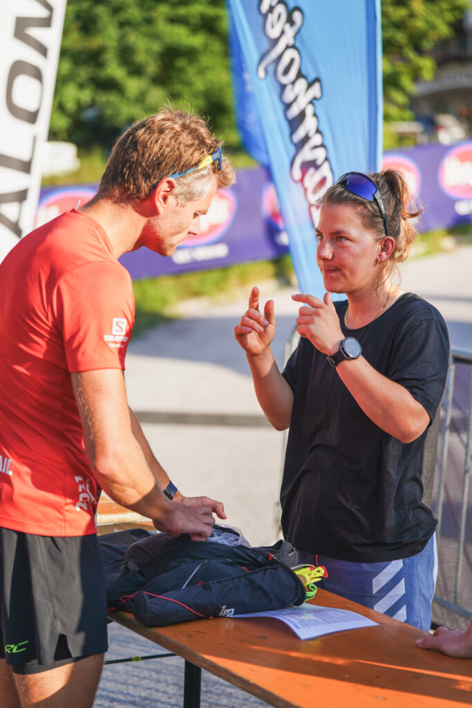
Compulsory Equipment
Your safety is our first priority. For this reason, the following equipment kits have been defined:
BASIC KIT
Always to be carried:
- Running vest
- Mobile phone (always switched on)
- additional mobile device (watch, navigation device or similar)
- Identity document
- Softflasks (min. 3×0,5l)
- Food supply (e.g., gels/bars)
- Headlamp with spare batteries
- Rescue blanket of at least 1.40m x 2m
- GPS tracker (provided by the organizer before the start)
- Whistle
- First aid kit (including elastic bandage at least 200 cm x 4 cm (no tape!))
- Warm clothing (long-sleeved layer, long pants or leg warmers, gloves)
- Waterproof jacket (with hood and sealed seams)
- Bib band (wear your race number visibly)
HOT WEATHER KIT
Mandatory in hot weather:
- Sun cap/headgear
- Sunscreen
- Sunglasses (UV400)
- Electrolytes/salt
COLD WEATHER KIT
Mandatory in cold weather:
- Midlayer (second layer of insulation, e.g., fleece or thin down jacket)
- Waterproof overpants
- Warm hat
- Warm gloves (no thin running gloves)
- Spikes
All participants will be informed at the race briefing on site which kit must be taken along for the race. The material will be checked before entering the start box. Trackers will be handed out at the same time.
Safety measures
Together with the mountain rescue and our timing partner Time2Win we guarantee the safety of all participants. For this reason, the following rules apply to all runners:
- Each athlete must provide proof of successful participation in a trail run of at least 80km.
- The mountain rescue team will supervise the run together with the race organizers and will be available at all times.
- The runners have to carry a GPS tracker provided by the race management.
- Each participant is obliged to present a rescue insurance for Austria.
- There are different cut-off times – you can find them at the course profile.
What do you receive?
- Track catering at selected huts
- Transport of your drop bag to Zamsgatterl
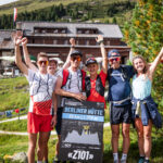
- warm Runners Meal at the finish
- Luggage storage
- GPS tracker
- Medal
- Shower
- Return transport at cut-off
Map
Cut-Off Times
For the safety of all runners, there are cut-off times* at the following points:
Greizer Hütte: Saturday, September 5 – 1:00 p.m.
Kasseler Hütte: Saturday, September 5 – 5:00 p.m.
Finish line in Mayrhofen: Saturday, September 5 – midnight
*Cut-off times are subject to change at short notice depending on weather conditions.
Taxi costs at the cut-off times at the Greizer Hütte and Kasseler Hütte are included in the entry fee.
Supporter & Pacer
Supporters providing food and drinks are permitted to assist athletes along the entire route.
Pacers are only permitted from Saturday (Zamsgatterl) onwards! All pacers must be registered in advance with the organizer by emailing mayrhofen@ultraks.com.
Track Profile
You are currently viewing a placeholder content from OpenStreetMap. To access the actual content, click the button below. Please note that doing so will share data with third-party providers.
More InformationImpressions